
Teledyne Technologies Secures Key Roles in Two ESA Earth‑Observation Missions
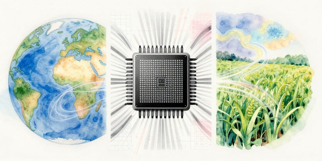
Teledyne Technologies Incorporated has announced that its advanced space‑imaging sensors will be mounted on two forthcoming European Space Agency (ESA) Earth‑observation satellites. The first, Sentinel‑3C, will join the Copernicus program and extend the long‑term monitoring of ocean colour, vegetation cover, and land‑use dynamics through hyperspectral imaging. The second, the Fluorescence Explorer (FLEX), will focus on quantifying plant photosynthetic activity by measuring fluorescence in the 0.5‑0.78 µm range.
Instrumentation and Technical Capabilities
Sentinel‑3C will carry a suite of back‑illuminated charge‑coupled device (CCD) detectors optimized for the visible to near‑infrared (NIR) spectrum. These detectors provide high quantum efficiency (≥ 90 %) and low read‑out noise (< 3 e⁻ rms), enabling precise measurement of spectral bands critical for ocean colour retrievals and vegetation indices such as NDVI and EVI.
FLEX will utilize a complementary CCD array engineered for high‑sensitivity detection of weak fluorescence signals. The instrument’s spectral bandwidth (0.5‑0.78 µm) covers the chlorophyll‑a fluorescence peak, which is a direct proxy for photosynthetic quantum yield. By integrating over multiple orbits, FLEX will generate time series data on plant health and carbon fluxes that can be assimilated into terrestrial biosphere models.
Both instruments were launched together aboard a Vega C rocket from French Guiana. The simultaneous deployment ensures that the instruments benefit from similar launch trajectories and thermal environments, reducing integration risk and streamlining calibration procedures.
Continuity of the Sentinel‑3 Series
Sentinel‑3A was first launched in 2016, followed by Sentinel‑3B in 2018. With Sentinel‑3C’s operational commencement, the Copernicus program will sustain a continuous 24‑hour, 5‑day revisit cycle for key environmental parameters across the globe. This continuity is essential for:
- Ocean Forecasting: High‑resolution sea‑surface temperature (SST) and chlorophyll‑a maps support fisheries management and climate‑model initialization.
- Land‑Use Monitoring: Frequent imagery supports disaster response, deforestation tracking, and urban expansion analyses.
- Atmospheric Composition Studies: Consistent measurements of aerosol optical depth (AOD) and trace gases improve air‑quality assessments.
Implications for Climate and Agricultural Research
The FLEX mission’s fluorescence data will feed into the CarbonTracker and BIOME-BGC models, enhancing estimates of the terrestrial carbon sink. By providing real‑time plant stress indicators, FLEX can help:
- Agricultural Management: Early detection of nutrient deficiencies or water stress enables precision irrigation and fertilization.
- Food‑Security Initiatives: Accurate yield forecasts support commodity price stabilization and policy planning.
Expert Perspectives
“Teledyne’s back‑illuminated CCDs are a benchmark in spaceborne imaging,” said Dr. Elena Marquez, lead scientist for the Copernicus programme. “Their high sensitivity in the NIR region is vital for detecting subtle changes in oceanic phytoplankton communities and terrestrial vegetation health.”
“The fluorescence data from FLEX will be transformative,” noted Professor Haruki Tanaka of the International Institute for Climate Science. “Integrating these measurements into global carbon models will reduce uncertainties in future climate projections by up to 15 %.”
Industry Trends
The deployment of Teledyne’s sensors aligns with broader industry movements toward miniaturization and increased detector efficiency. The global satellite imagery market is projected to reach $13 billion by 2028, driven by demand for high‑resolution, multispectral data across defense, agriculture, and environmental sectors. Companies that can deliver low‑noise, high‑quantum‑efficiency detectors—such as Teledyne—are poised to capture a growing share of this market.
Actionable Insights for IT Decision‑Makers
- Data Integration: Organizations should invest in scalable data pipelines to ingest Sentinel‑3C and FLEX datasets, leveraging cloud‑based analytics platforms for near‑real‑time processing.
- Model Assimilation: Integrating fluorescence measurements into existing crop‑yield or carbon‑budget models can improve forecast accuracy; evaluate compatibility with current GIS and machine‑learning workflows.
- Security and Compliance: Ensure that data handling complies with ESA’s Copernicus Open Data Hub terms, and implement robust cybersecurity controls for data ingestion endpoints.
Conclusion
Teledyne Technologies’ contribution to the Sentinel‑3C and FLEX missions reinforces its reputation as a key partner for major space agencies. The new data streams will enhance the scientific community’s capacity to monitor environmental change, improve climate model fidelity, and support sustainable agricultural practices worldwide.